

Areas We Serve
Express Med Spa is a nurse practitioner-led medical spa with five clinics: La Grange, Shorewood, Frankfort, Mount Greenwood in Chicago, and Manteno. This page lists the nearby communities our Frankfort, La Grange, Shorewood, and Mount Greenwood clinics serve, the typical drive from each one, and how to book. Every community here is a service area, not a storefront.
Book Online
Call 877-363-3772
What an Areas We Serve Page Covers
Each community listed here is a service area, not a storefront. Express Med Spa has five clinics, in La Grange, Shorewood, Frankfort, Chicago (Mount Greenwood), and Manteno, and we do not operate an office in the towns below. A community page is written for the trip: the roads most people take, the driving distance, a realistic time range, what a first visit involves, and a short set of answers for that area.
Which services are available is a clinic question rather than a town question. Each clinic page lists the services offered at that location, and the booking team confirms availability for your specific treatment when you schedule.
If your community is not listed yet, start with the clinic cards below and pick the clinic closest to home or work. Our Frankfort, La Grange, Shorewood, and Mount Greenwood clinics book through one online scheduler, and each clinic card lists its own phone number.

How to Use This Page
Find your community. The community pages below are grouped under the clinic that serves them: Hinsdale and Oak Brook under La Grange, Plainfield and Joliet under Shorewood, and New Lenox under Frankfort.
Check the drive. Each community page gives the route to take and a typical drive range, measured from the village hall to the clinic address. Hinsdale can also reach La Grange on the Metra BNSF line.
Book at the clinic. Services are listed on each clinic page, and the booking team confirms availability for your treatment when you schedule.
THE CLINICS
Our Clinics
Each clinic has its own page with services, hours, parking notes where they apply, and booking. Together they cover the southwest suburbs of Chicago and the city's Southwest Side, with patients coming from Cook, DuPage, Will, and Kendall counties.
Choose Your Clinic
Pick the clinic closest to home or work. The clinic page is the place to see what is offered there and to book.
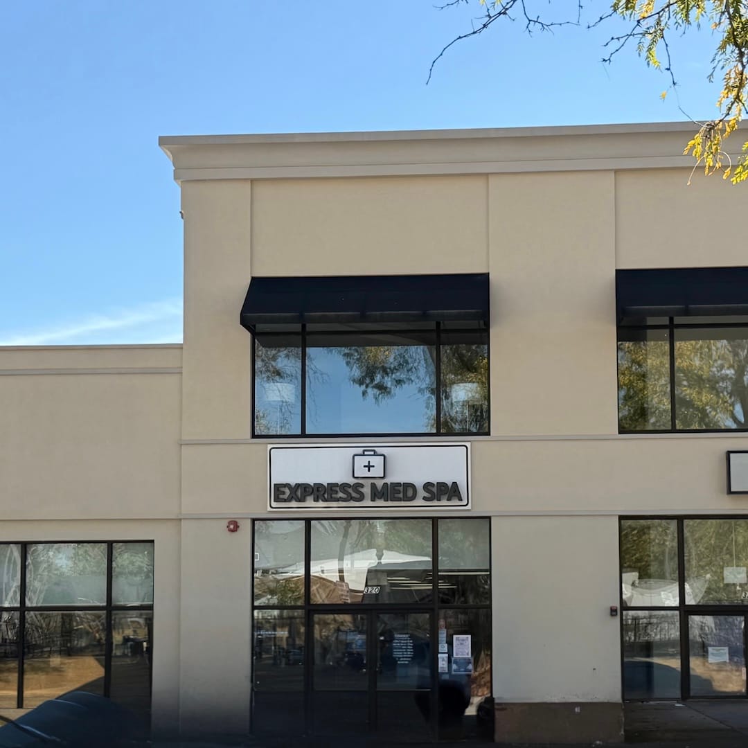
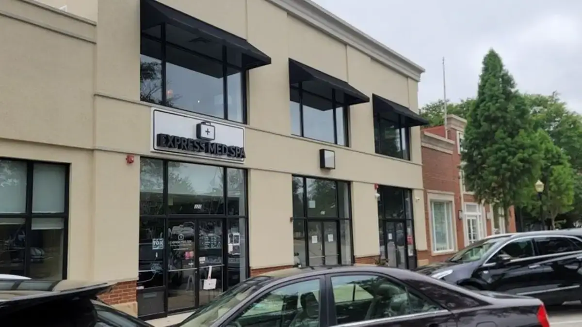
Address: 320 W Burlington Ave, La Grange, IL 60525
Phone: 708-847-0872
On Burlington Avenue in downtown La Grange, near the Metra BNSF line. This clinic serves patients from Hinsdale and Oak Brook, in western Cook and DuPage counties.
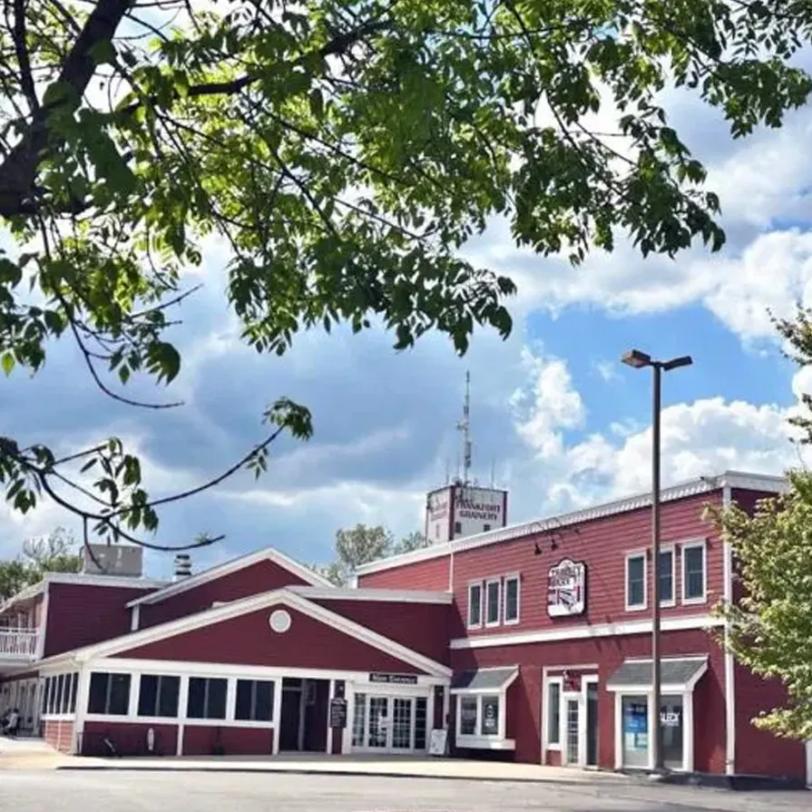
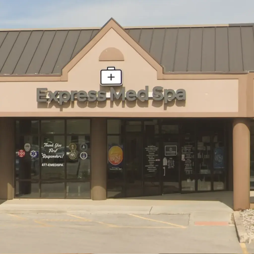
Address: 11 S White St Ste 104, Frankfort, IL 60423
Phone: 708-840-8443
In downtown Frankfort on S White Street, near the Old Plank Road Trail and US Route 30. This clinic serves patients from New Lenox, the Will County village next door along Route 30. Laser tattoo removal is listed at Frankfort.
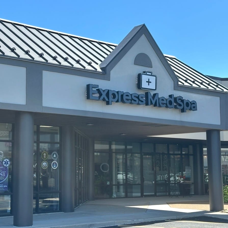
Address: 707 W Jefferson St Ste M, Shorewood, IL 60404
Phone: 815-458-5501
On West Jefferson Street (US Route 52) near Illinois Route 59 and I-80. This clinic serves patients from Plainfield and Joliet in Will County.
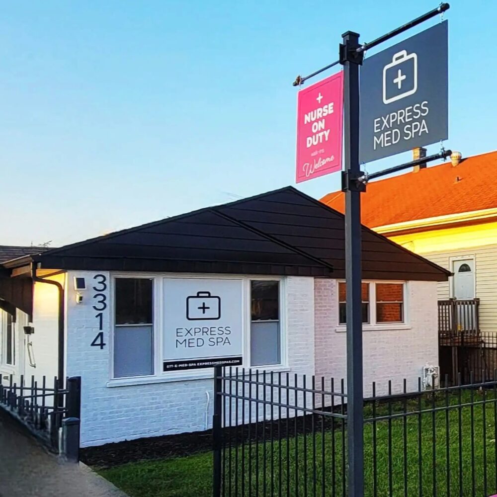
Address: 3314 W 111th St, Chicago, IL 60655
Phone: 877-363-3772
On West 111th Street in the Mount Greenwood neighborhood on Chicago's Southwest Side. Community pages for this clinic are still in review, so if you live nearby, book straight from the clinic page.
The Clinics on a Map
Pins mark the Frankfort, La Grange, Shorewood, and Mount Greenwood clinics. Community pages never carry a pin, because there is no office in those towns.
AREAS WE SERVE
We also care for patients from nearby communities that do not have a clinic of their own, grouped here by the clinic that serves them. Each community page explains the typical drive, the route to take, and what to expect when you book.
Served by our La Grange clinic
320 W Burlington Ave, La Grange · Visit the La Grange clinic page

Med Spa Serving Hinsdale, IL
Express Med Spa serves patients from Hinsdale at our La Grange clinic at 320 W Burlington Ave, about 4 miles east along the same BNSF rail corridor. A short drive or a few Metra stops, with online booking.
Med Spa Serving Oak Brook, IL
Express Med Spa serves patients from Oak Brook at our La Grange clinic on Burlington Avenue, about 10 to 20 minutes away. The services listed on the La Grange clinic page, with online booking that fits a busy schedule.
Served by our Shorewood clinic
707 W Jefferson St Ste M, Shorewood · Visit the Shorewood clinic page

Med Spa Serving Joliet, IL
Express Med Spa serves patients from Joliet at our Shorewood clinic at 707 W Jefferson St, about 7 miles from downtown Joliet in the village next door. A short drive on roads you already use, with online booking.
Med Spa Serving Plainfield, IL
Express Med Spa serves patients from Plainfield at our Shorewood clinic at 707 W Jefferson St, about 15 to 25 minutes south on Route 59. The services listed on the Shorewood clinic page, one town south, with online booking.

Served by our Frankfort clinic
11 S White St Ste 104, Frankfort · Visit the Frankfort clinic page
Why Patients Choose Express Med Spa
Why Patients Choose
Express Med Spa
- Nurse practitioner-led. Founder Stefanie Drozd, MSN-APRN, opened Express Med Spa in Frankfort in May 2020, and registered nurses provide care at each clinic.
- One online scheduler for our Frankfort, La Grange, Shorewood, and Mount Greenwood clinics, so you can book the clinic that fits your week.
- One nurse-led network for injectables, facials, medical weight loss, laser services, and IV therapy. Each clinic page lists what is offered there.
- Community pages that give the real drive, measured on the road network rather than a radius drawn on a map.
Patient Reviews From Across Our Clinics
Patient Reviews
From Across Our Clinics
Reviews from patients who visit our La Grange, Shorewood, Frankfort, and Mount Greenwood clinics.
“Love Express Med Spa! Steph G is the best. Vicky at the front desk is a total sweetheart. I've been coming here for about 5 years now and never had a bad experience. Highly recommend!!”

Jessica Davies
Google Review
“Express Med Spa Frankfort is a great place to go! Friendly service and they are very professional. I just had a facial done today and Jackie was the one who did my facial and she was fantastic. Very friendly and she did a great job. Will definitely be back soon! Highly recommend!”

Faith Buralli
Google Review
“I started going to Express Medspa a year ago for laser hair removal, and now I'm down to once or twice a year. I'm so happy how my face looks now. I highly recommend Express Medspa. 💜”

Jacqueline Bettenhausen
Google Review
“This team exceeds my expectations every time I walk in the door. They’re sincere with their care and I’m treated like a patient, not a customer. I was scared for years to try something new and am so thankful Express Med Spa was my first experience. 10/10 recommend!!”

Becky Crea
Google Review
“Stefanie is awesome! She did my lip flip i was so nervous but I was in LOVE with the results. I loved them so much i just came back from getting my second lip flip months later! The Frankfort and Mount Greenwood location are both beautiful. If you’re thinking about going JUST DO IT.”

Adriana Clark
Google Review
Drive Times to Express Med Spa From Each Community
Each community below is served by the clinic the road data puts closest to it.
Distances and times are routed drives from each village hall to the clinic address, measured with OSRM on July 30, 2026. Every range is widened beyond the free flow time to allow for ordinary traffic, and each community page records the assumptions behind its own range.

Getting to a Clinic by Train or Car
By Metra. Hinsdale and La Grange sit on the same BNSF line, so patients from Hinsdale can ride a few stops east to the La Grange clinic instead of driving. New Lenox has a station on the Rock Island District line; from there the Frankfort clinic is a drive along US Route 30.
By car. Oak Brook connects to La Grange by I-294 and Ogden Avenue (US 34). Plainfield reaches Shorewood on Illinois Route 59, and Joliet uses West Jefferson Street or I-80. New Lenox follows US Route 30, the Lincoln Highway, into downtown Frankfort. Each clinic card above has a Get Directions link that opens turn-by-turn directions from where you are.
What Our Clinics Offer
Express Med Spa's clinics are listed as medical spas, skin care clinics, and facial spas. Laser tattoo removal is listed at Frankfort. Which services are available is a clinic question rather than a town question: the clinic page is the source for what is offered there, and the booking team confirms it when you schedule.
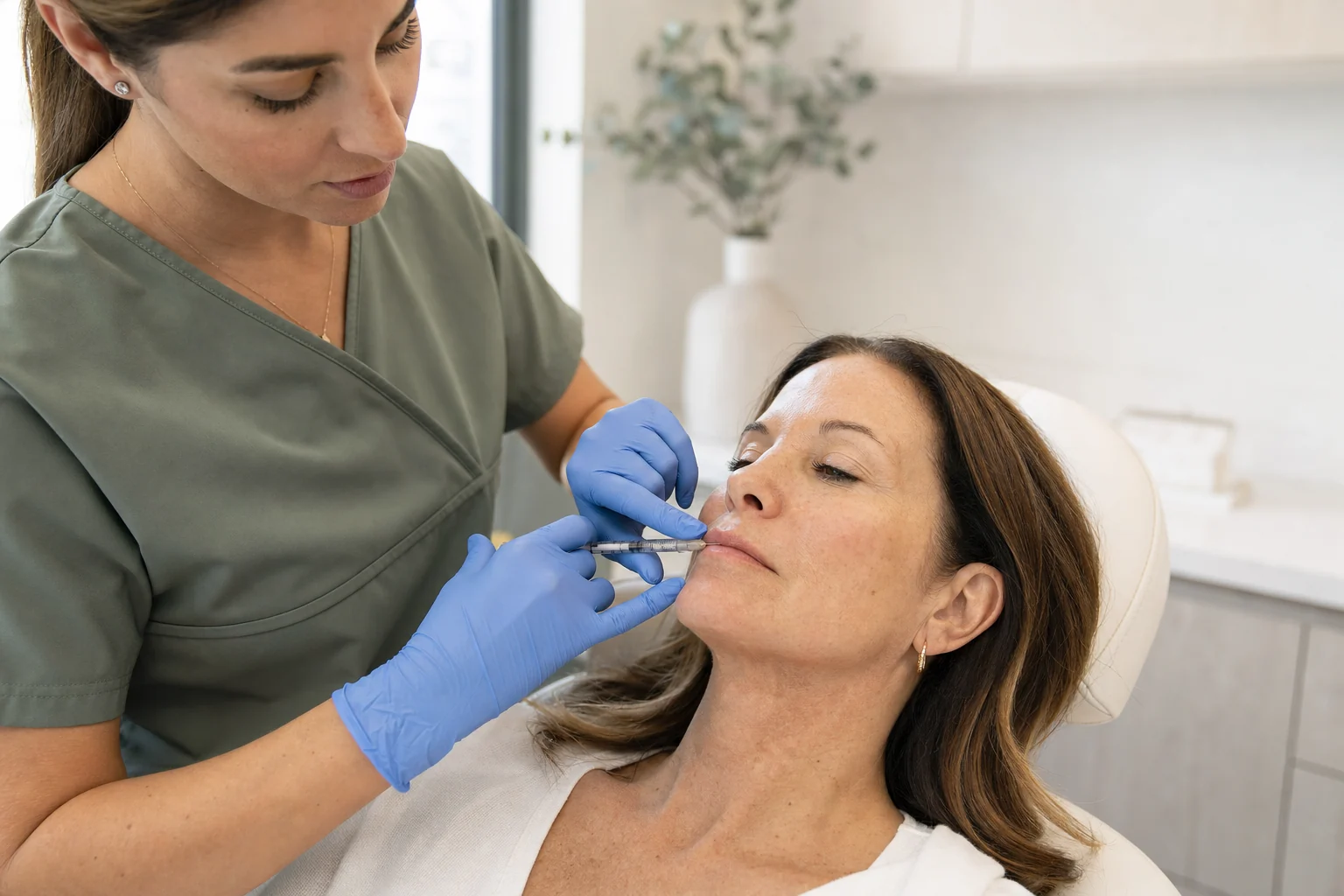
Injectables and dermal fillers
Wrinkle relaxers and dermal fillers, see the clinic page for availability.
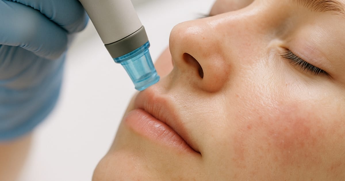
Facials and skin treatments
Facials, chemical peels, and other skin treatments, see the clinic page for availability.
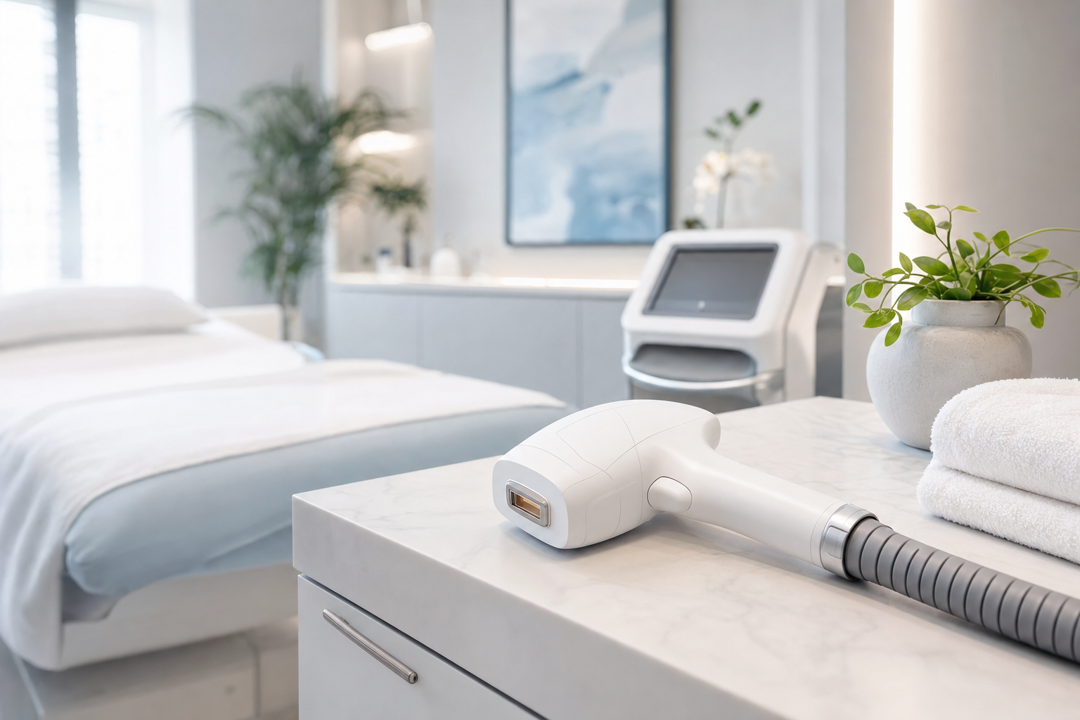
Laser services
Laser hair removal and other laser treatments, see the clinic page for availability.
IV therapy and wellness injections
IV hydration blends and vitamin injections, see the clinic page for availability.
Medical weight loss
Medically supervised weight management, see the clinic page for availability.

Nurse Practitioner-Led Care Across Our Clinics
Nurse Practitioner-Led Care
Across Our Clinics
Express Med Spa was founded in Frankfort in May 2020 by Stefanie Drozd, MSN-APRN, a nurse practitioner in medical aesthetics. Care at the La Grange, Shorewood, Frankfort, and Mount Greenwood clinics is provided by registered nurses and a licensed esthetician in a nurse practitioner-led practice. Meet the team on the nurse practitioner page.

Frequently Asked Questions
Ready to Get Started? Book at the clinic that serves your community
Ready to Get Started?
Book at the clinic that serves your community

Stefanie Drozd, MSN-APRN
Founder & Nurse Practitioner
Book a consultation online, or call 877-363-3772 and the care team will help you choose the clinic closest to you.
Express Med Spa Team
5
nurse-led clinics
5
communities with their own page
2020
founded in Frankfort
Let’s Talk About Your Skin Goals
How We Assign Your Clinic
Every community we serve is matched to exactly one of our clinics, and the match is made with routed drive data rather than a radius drawn on a map.
For each town we route a real trip from the town's village hall to the clinic's street address using OSRM, an open source engine that follows the actual road network. That returns a driving distance and a free flow travel time. We then widen the time into a range so it reflects ordinary traffic rather than an empty road, and the town's own page records the conditions behind its range, such as Route 59 congestion for Plainfield or the Metra BNSF alternative available from Hinsdale.
Two rules keep the list honest. A community that sits between two clinics is not assigned by guesswork; it stays under review until the routing evidence clearly favors one, which is why some nearby towns are not published here yet. And the clinic cities never get a community page of their own, because each already has a clinic page.
The clinic named on a community page is the one the road network puts closest to you. If another clinic suits your week better, the clinics are listed above under Choose Your Clinic, and the clinics page lists each clinic's hours.